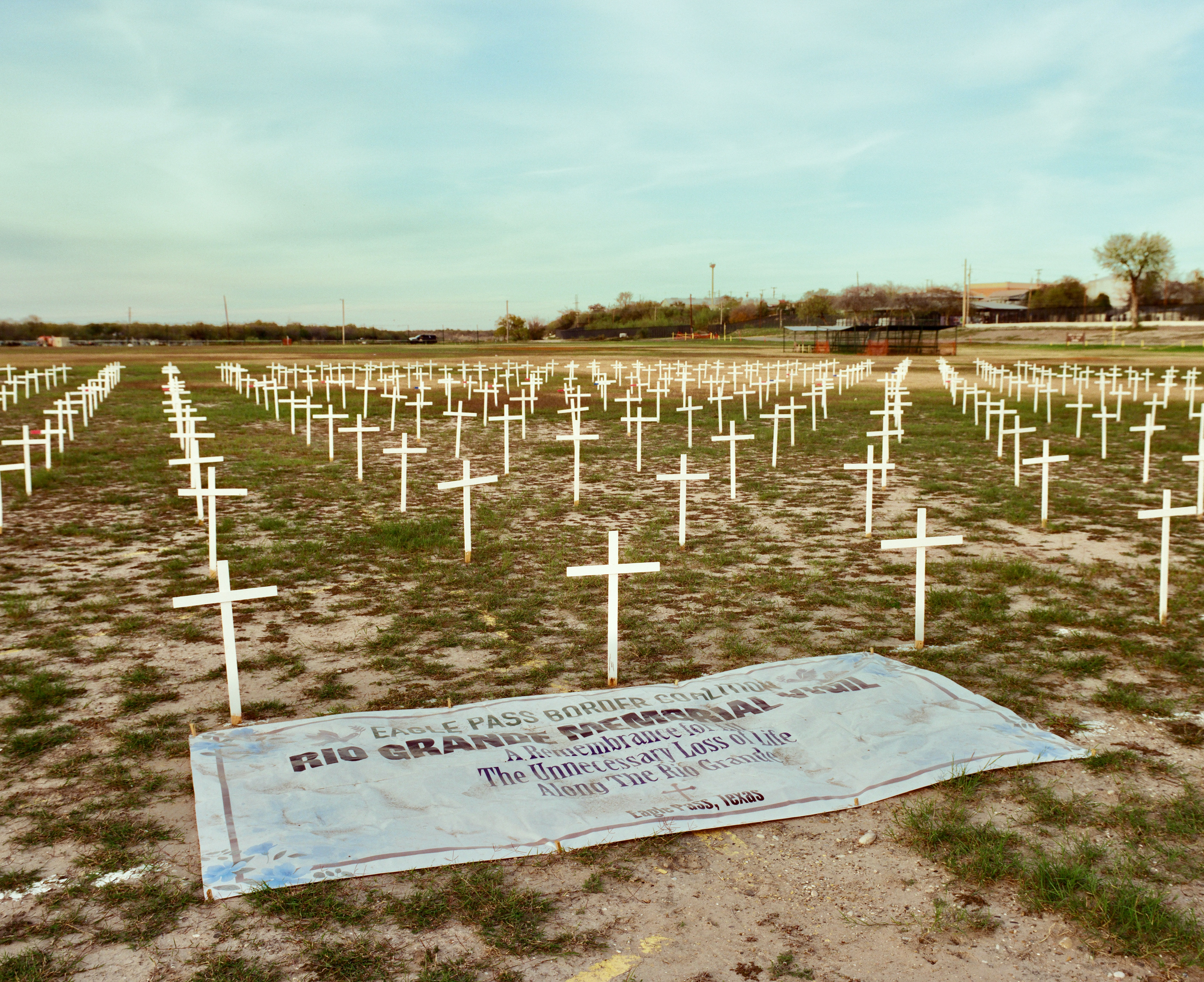
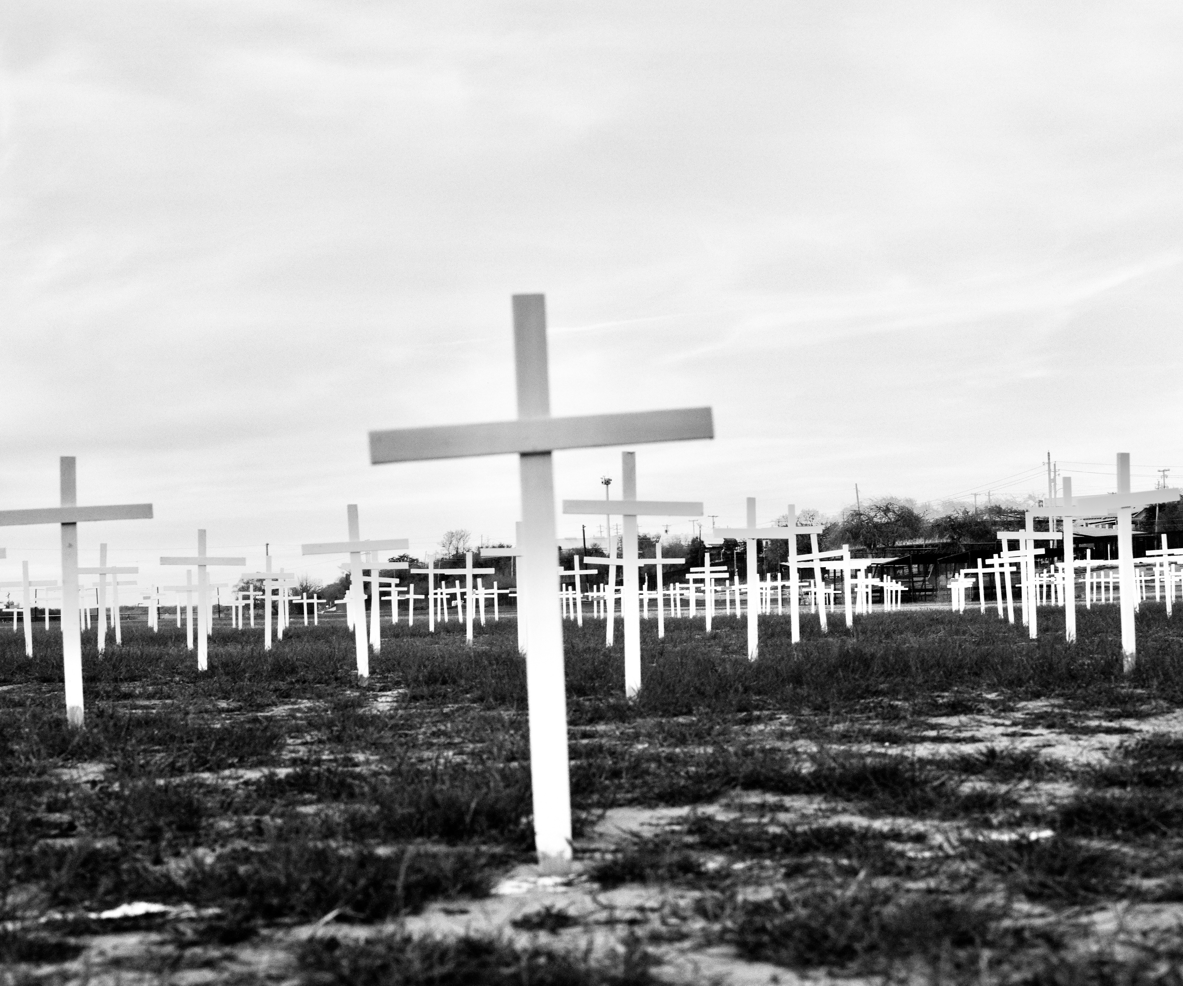
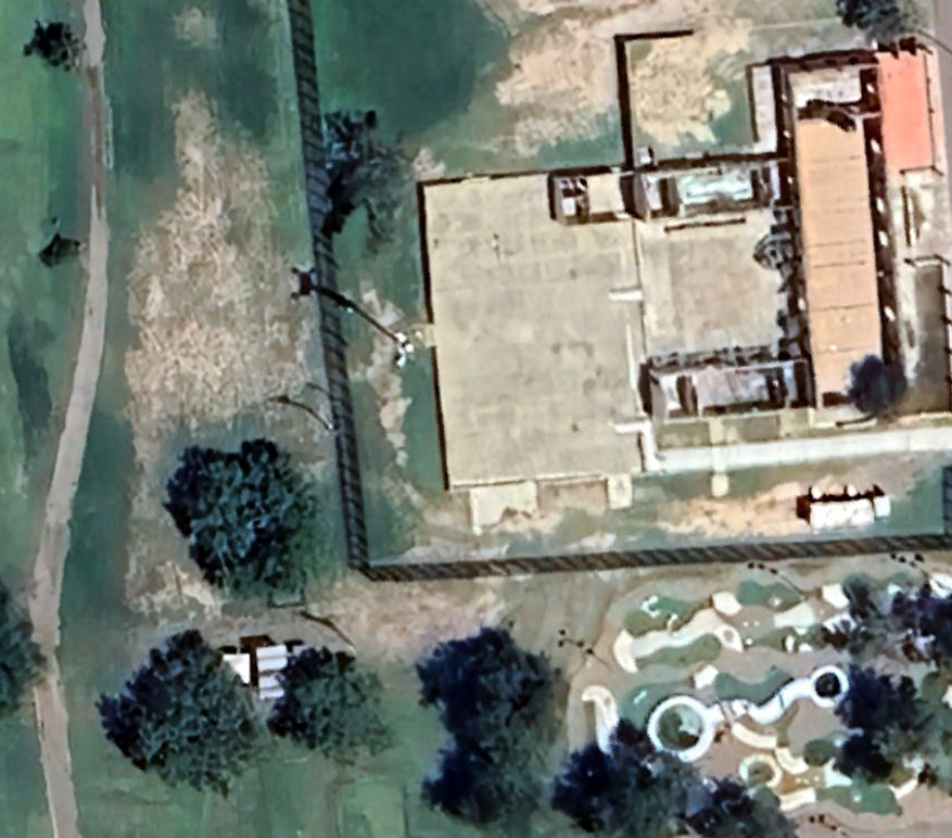
Eagle Pass, TX
28.702139, -100.506028
Remote Video Surveillance System (RVSS)
Colter Thomas, January 2024
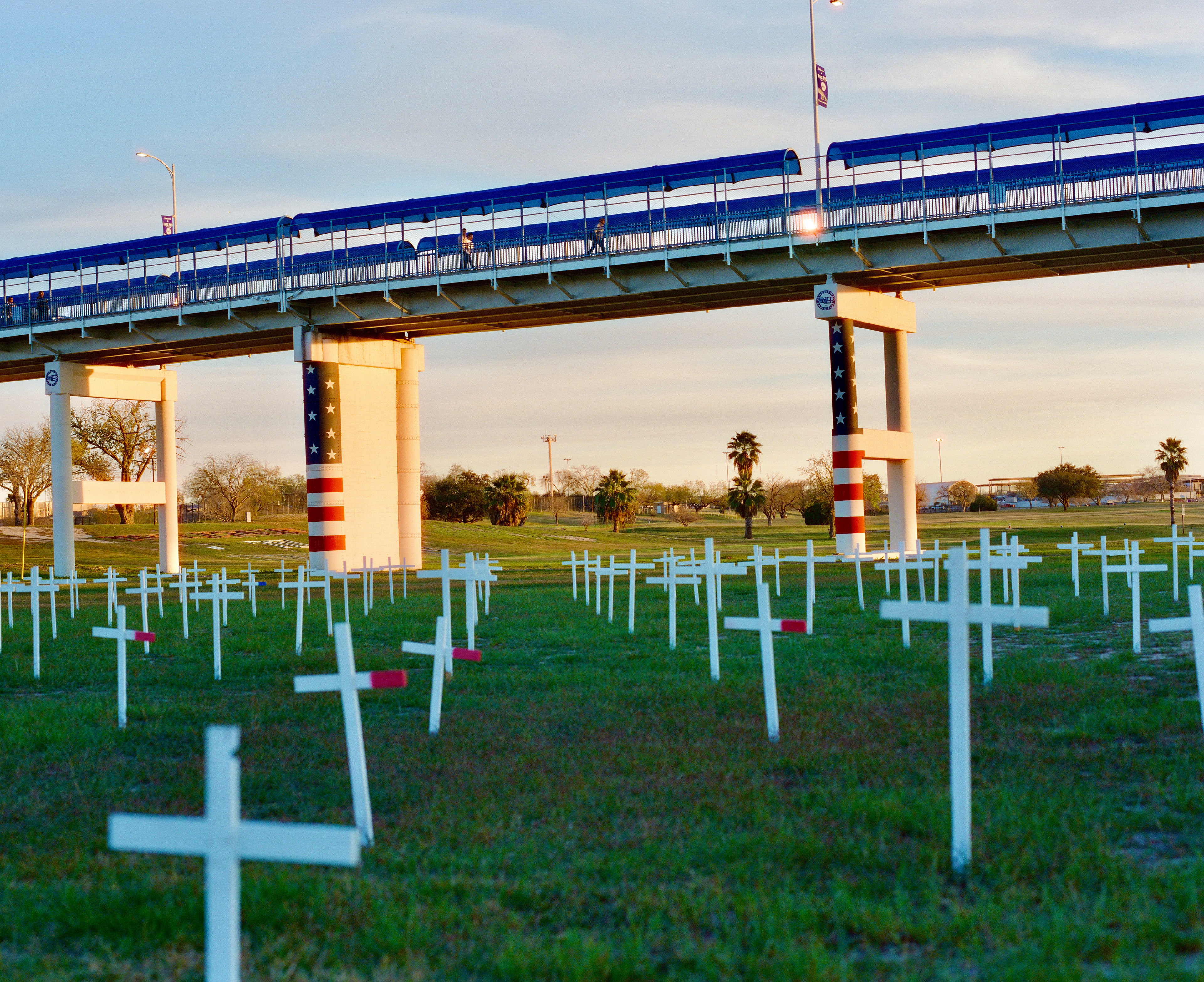
This photograph was taken in Shelby Park, Eagle Pass, which has now been partially closed to function as a 24-hour staging ground for Operation Lone Star personnel and vehicles. I took this photograph with his back to that section of the park, looking past a memorial erected by the Eagle Pass Border Coalition to honor migrants who have died along the border, toward a surveillance tower standing on the far side of a public golf course. Overhead is the Eagle Pass International Bridge, connecting the United States and Mexico. Visitors to this location will see a striking spatial representation of the so-called border crisis: not the front line of a war between cartels and brave American troops but parallel routes across the same river, one safe and legal for those lucky enough to have the right paperwork, and another just underneath it, this one potentially deadly and increasingly criminalized.
Below: 2023 - RVSS
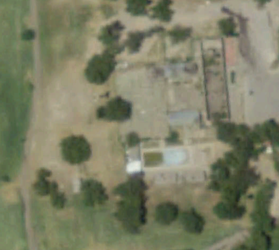
Below: 2008 (Before installation)